
- Français
- Nederlands
- English
- Deutsch
- 简体中文


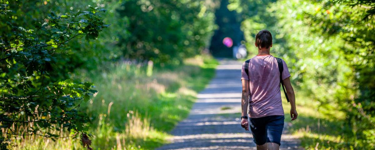

Marked routes
Marked walking trails, road cycling or mountain bike itineraries, ...
Everything is possible for discovering our beautiful countryside and its typical Ardennes villages.
You choose!

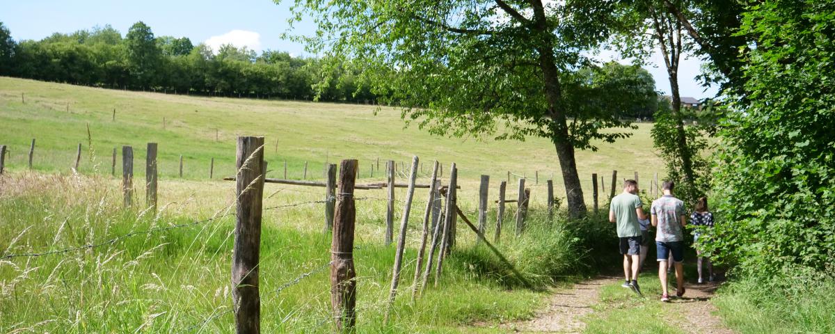
Alternative Route


Credit : Stavelot Tourisme
Please note that some walking maps indicate that the route turns to the right at the crossroads. The walk is then shortened by 800 metres.
Au bout du Mont
4970
Stavelot
Lat : 50.44385Lng : 5.94815
537 m
Select background map
IGN MAP

AERIAL PHOTOS / IGN


SLOPE MAP (IGN PLAN)


MAP 1950 / IGN

MAP OF THE GENERAL STAFF (1820-1866)


OPEN STREET MAP


Nearby tours
Author Information

Spa Hautes-Fagnes Ardennes
Author
Powered by Cirkwi - Read Terms of Use