
- Français
- Nederlands
- English
- Deutsch
- 简体中文


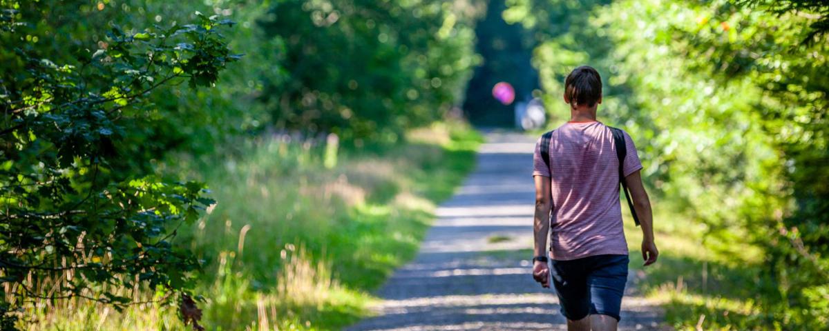
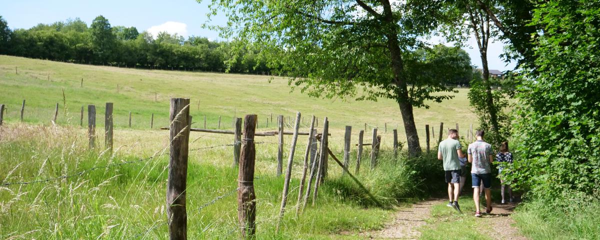
Marked routes
Marked walking trails, road cycling or mountain bike itineraries, ...
Everything is possible for discovering our beautiful countryside and its typical Ardennes villages.
You choose!

Viewpoint on the Eau rouge motorway bridge


Credit : Stavelot Tourisme
From here you have a view of the Eau Rouge valley and the motorway bridge that crosses it. The first houses of the village Bernister (Malmedy) can be seen on the other side of the bridge. "L'Eau rouge" in French means the Red Water. This name comes from the red colour of the stream some places. The cause is the iron-laden spring water that gushes out in the area. The stream also crosses and gives its name to the most famous bend of the Spa-Francorchamps circuit: the "Raidillon de l'Eau rouge". The circuit is hidden by the surrounding hills and vegetation.
Au bout du Mont
4970
Stavelot
Lat : 50.44641Lng : 5.95218
520 m
Select background map
IGN MAP

AERIAL PHOTOS / IGN


SLOPE MAP (IGN PLAN)


MAP 1950 / IGN

MAP OF THE GENERAL STAFF (1820-1866)


OPEN STREET MAP


Nearby tours
Author Information

Spa Hautes-Fagnes Ardennes
Author
Powered by Cirkwi - Read Terms of Use