
- Français
- Nederlands
- English
- Deutsch
- 简体中文


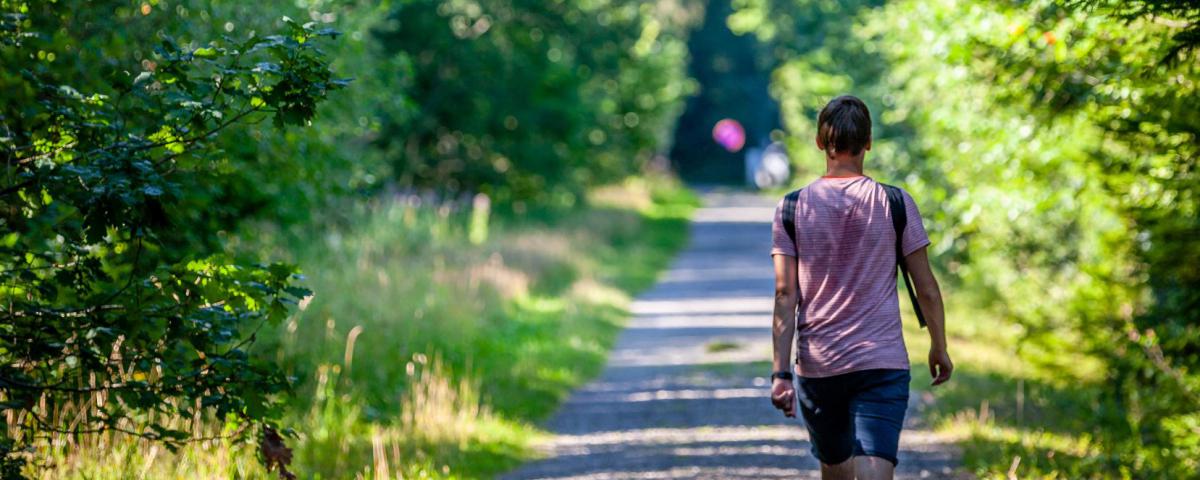

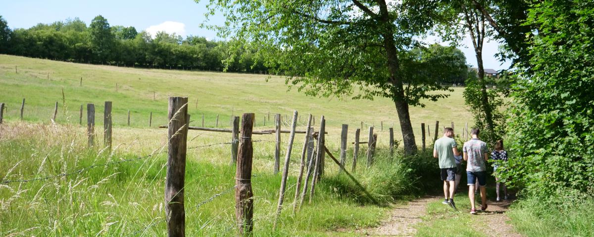
Marked routes
Marked walking trails, road cycling or mountain bike itineraries, ...
Everything is possible for discovering our beautiful countryside and its typical Ardennes villages.
You choose!

Coo Waterfall


Credit : PAM - OT Stavelot
The largest waterfall in Belgium: 15 metres . The monks of the Abbey of Stavelot are at the origin of this waterfall. They diverted a meander of the river Amblève to activate a mill located below the current waterfall. However, before this diversion, the water from the river already overflowed onto the surrounding rocks. The Coo waterfall therefore also has a natural origin. At the beginning of the 19th century, the waterfall attracted a lot of people! Indeed, Coo was part of the "Amusements de Spa" circuit. It was the beginning of Belgian and European tourism... Translated with www.deepl.com/translator (free version)
1f Grand Coo
4970
Stavelot
Lat : 50.39351Lng : 5.8769
233 m
Select background map
IGN MAP

AERIAL PHOTOS / IGN


SLOPE MAP (IGN PLAN)


MAP 1950 / IGN

MAP OF THE GENERAL STAFF (1820-1866)


OPEN STREET MAP


Nearby tours
Author Information

Spa Hautes-Fagnes Ardennes
Author
Powered by Cirkwi - Read Terms of Use