
- Français
- Nederlands
- English
- Deutsch
- 简体中文


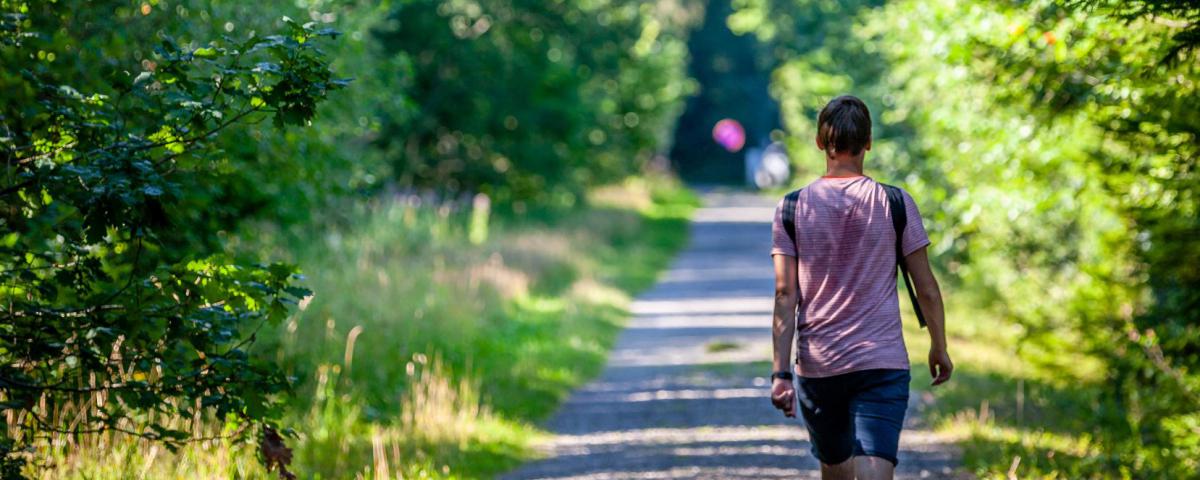

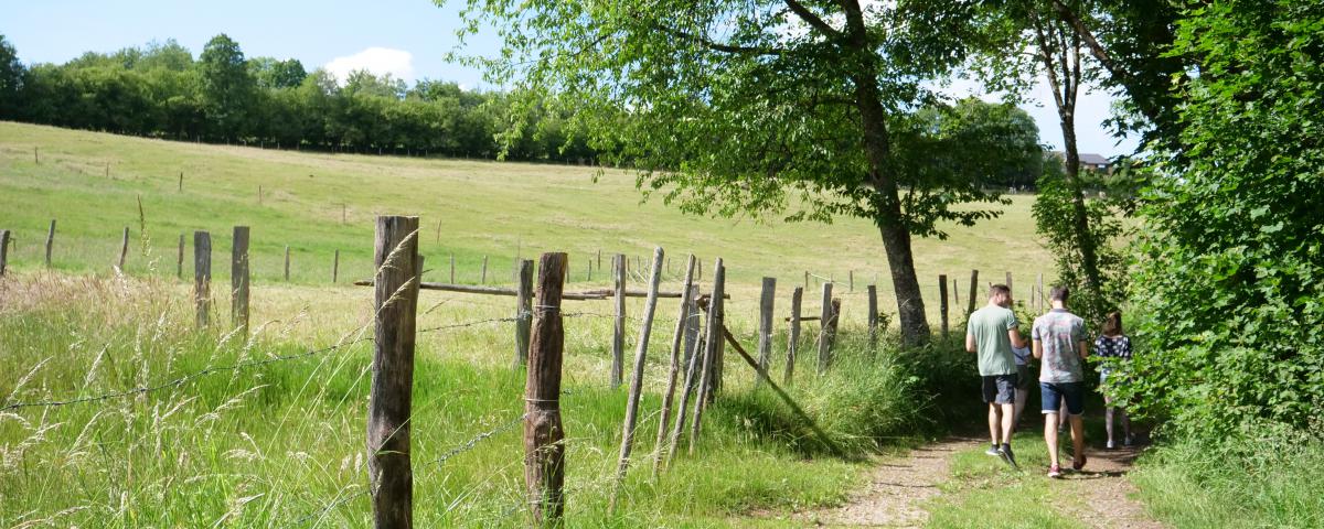
Marked routes
Marked walking trails, road cycling or mountain bike itineraries, ...
Everything is possible for discovering our beautiful countryside and its typical Ardennes villages.
You choose!

Watchtower


Credit : OT Stavelot
Also called "Belvédère Thiry". Located at the arrival of the Coo chairlift, the top of this tower offers a magnificent view over the lower basin of the Coo Hydroelectric Power Station.
Unnamed Road
4970
Stavelot
Lat : 50.39529Lng : 5.8841
430 m
Select background map
IGN MAP

AERIAL PHOTOS / IGN


SLOPE MAP (IGN PLAN)


MAP 1950 / IGN

MAP OF THE GENERAL STAFF (1820-1866)


OPEN STREET MAP


Nearby tours
Author Information

Spa Hautes-Fagnes Ardennes
Author
Powered by Cirkwi - Read Terms of Use