
- Français
- Nederlands
- English
- Deutsch
- 简体中文


Gekennzeichnete Routen
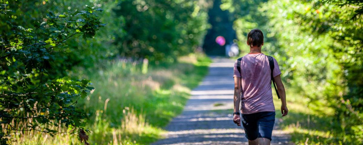
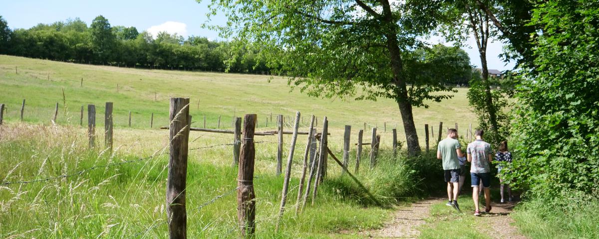
Gekennzeichnete Fußwanderwege, Trails, Fahrradstrecken auf der Straße oder VTT,… Es gibt viele Möglichkeiten, das herrliche ländliche Umfeld und seine typischen Ardenner Dörfer zu entdecken. Wählen Sie aus!

Alternative Route


Kredit : Stavelot Tourisme
Please note that some walking maps indicate that the route turns to the right at the crossroads. The walk is then shortened by 800 metres.
Au bout du Mont
4970
Stavelot
Lat : 50.44385Lng : 5.94815
537 m
Wählen Sie die Hintergrundkarte
KARTE / IGN

LUFTBILDER / IGN


PISTENKARTE / IGN


KARTE 1950 / IGN

KARTE DES GENERALSTABES (1820-1866)


OPEN STREET MAP


Tours in der Nähe
Informationen über den Autor

Spa Hautes-Fagnes Ardennes
Autor
Angetrieben durch Cirkwi - Lesen Sie die Nutzungsbedingungen