
- Français
- Nederlands
- English
- Deutsch
- 简体中文


Marked routes
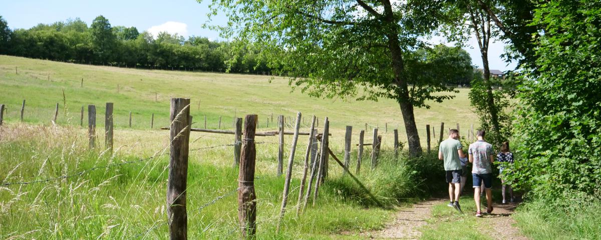
Marked walking trails, road cycling or mountain bike itineraries, ...
Everything is possible for discovering our beautiful countryside and its typical Ardennes villages.
You choose!

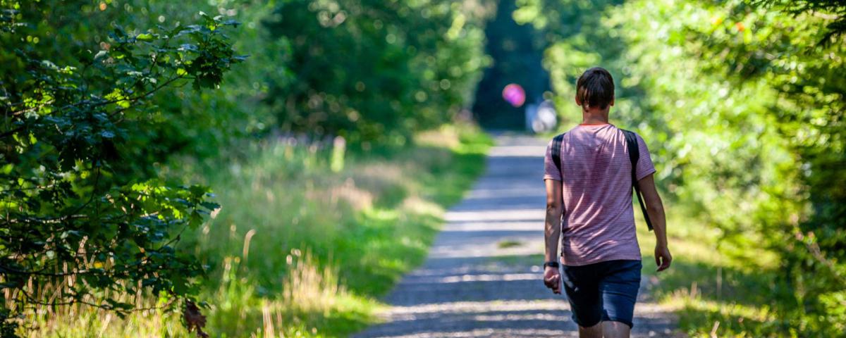
Promenade de l'écureuil


Credit : OT Stavelot
Starting from the village of Beaumont, the Squirrel Walk takes you through fields and forests to discover the heights of the southern slope of the Amblève valley. You will pass the pretty isolated village of Francheville. Parking is available near the village hall. have a look to the Route-Info number 1.
Further information
Signalétique (EN)
Pedestrian - Horizontal rectangle - Blue
1 h
20 mn
Medium
Nordic's walk tour
Medium
Tour accessible to public transportation
6.6 km
max. 531 m
min. 371 m
Styles : DiscoveryIn the countryIn townForest
Public : Persons with reduced mobilityAccessible with prams/stroller
Theme : Waterfront
Select background map
IGN MAP

AERIAL PHOTOS / IGN


SLOPE MAP (IGN PLAN)


MAP 1950 / IGN

MAP OF THE GENERAL STAFF (1820-1866)


OPEN STREET MAP


Nearby tours
Nearby of points of interest
Starting point
7
Beaumont
4970 Stavelot
4970 Stavelot
Lat : 50.38026Lng : 5.995

Village of Beaumont
The village of Beaumont is located halfway between the towns of Malmedy and Stavelot. It is surrounded by the hamlets of Lodomez, Villers and Planche (Malmedy).Beaumont still has several old timber framing farmhouses. At the central crossroads, there is a statue of the Virgin Mary sheltered in a small artificial cave, as well as an old fountain that is still in operation.
7 Beaumont 4970 Stavelot
1 Parking et embranchement
4970 Stavelot
Viewpoint - Above Le Wérihay
Magnificent view of the Amblève valley above Le Wérihay.On the other side, on the right, you can see the church of the village of Bellevaux, located in the commune of Malmedy.
2 Beaumont 4970 Stavelot
2 Section de chemin boueuse
Unnamed Road 4970 Stavelot
Second viewpoint on the Amblève valley
Viewpoint on the top of the village of Bellevaux (Malmedy).
Unnamed Road 4970 Stavelot
3 Passerelle en bois
Unnamed Road 4970 Stavelot
Didactic panel
Didactic panel about the nature reserve of Noir Ruy (or Noir Ru) meaning "black creek". This little creek flows into the Amblève below the village of Beaumont.
4970 Stavelot
4 Route et virage dangereux
Beaumont 4970 Stavelot
Francheville
Set back from the main road coming from Beaumont, the village of Francheville culminates at an altitude of 580 metres and is dominated by the Saint-Félix church built in the 18th century. Above the church's portal are a coat of arms and a chronogram showing the year 1742.The chronogram is an inscription in which certain letters correspond to Roman numerals which, when added together, give the founding date of the building.
9 Francheville 4970 Stavelot

Spa Hautes-Fagnes Ardennes
Author
Powered by Cirkwi - Read Terms of Use